USGS: NASA Image Mosaic and Topographic Map of the Moon
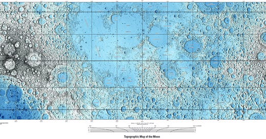
"The DEM values were then mapped to a global color look-up table, with each color representing a range of 1 km of elevation."
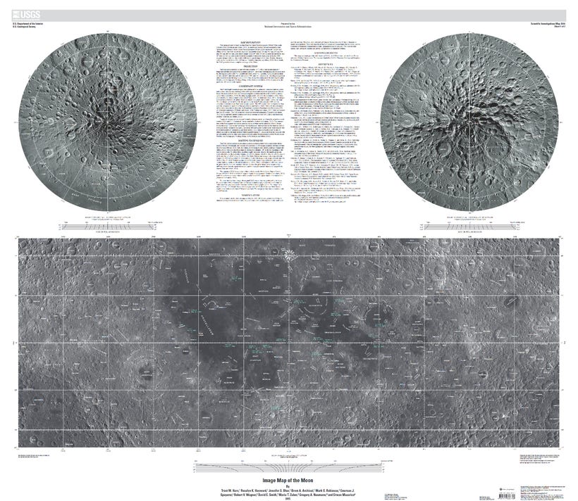
Sheet 1: This image mosaic is based on data from the Lunar Reconnaissance Orbiter Wide Angle Camera (WAC; Robinson and others, 2010), an instrument on the National Aeronautics and Space Administration (NASA) Lunar Reconnaissance Orbiter (LRO) spacecraft (Tooley and others, 2010).
More Information And All Moon Map Images:
Keep reading with a 7-day free trial
Subscribe to The Standeford Journal - News, Intel Analysis to keep reading this post and get 7 days of free access to the full post archives.


