North Korea Claims Its Reconnaissance Satellite Took Photos Of "Major Target Areas" Including US Military Bases
North Korea reported it took satellite photos of Important "target areas" it deemed as "enemy areas" including US military bases in South Korea, and also of military sites over Guam.
PYONGYANG - North Korean state media has claimed that the country's recently launched Malligyong-1 reconnaissance satellite took photos of "major target areas" in South Korea including regions where US military bases are located. The country’s leader was also reported to have reviewed satellite photos of U.S. military bases over Guam.
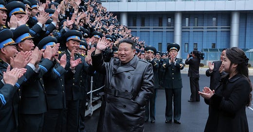
State media reported that North Korean leader Kim Jong-un visited the Pyongyang General Control Center of the National Aerospace Technology Administration (NATA) on November 24th in order to "review the operational preparation of the reconnaissance satellite and watched the aerospace photos taken on Friday".
Of the launch of the reconnaissance satellite, North Korea's state media reported that it is "a step pertaining to the right to self-defense and the legitimate and just exercise of sovereignty to closely monitor and thoroughly cope with the enemies' various military moves around the Korean peninsula that provoke graver concern as days go by".
NATA Reported It Captured Important "Target Areas" It Deemed As "Enemy Areas" Including Locations Hosting US Military Bases:
Keep reading with a 7-day free trial
Subscribe to The Standeford Journal - News, Intel Analysis to keep reading this post and get 7 days of free access to the full post archives.


